Also available in:
Nederlands
TMB (Tour Mont Blanc Alpine) September 2020
'11 days of hiking around Mont Blanc'Plan was, again, to go to Scotland but because of Covid, people in the UK thought otherwise.
This ‘TMB’ had also been on my list for some time so this was a wonderful alternative!
Not a Scottish adventure but 11 days of hiking through France, Italy and Switzerland.
Wednesday, Sept. 9 flew to Geneva, from there by the
Alpybus
to
this hotel
(which was then also the starting and ending point of my tour and where I left my hand luggage) to start the next day.
Of course, I prepared this trip well (see, among other things, the resources at the bottom of the page) but it was a coincidence that, as the starting point of this long round trip around Mont Blanc, I ended up in Les Houches. I initially planned to travel by train and there is a station there. (So you can start this wonderful tour in all the villages on the route).
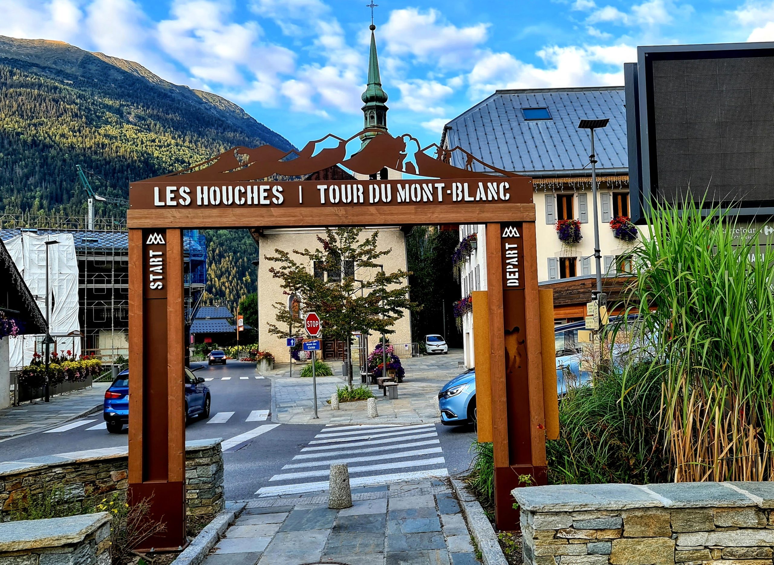
The first afternoon I walked into the village to buy gas tanks and a bite to eat I saw that this round, see start and finish arch in photo, is taken very seriously!
I am keeping this report mostly “simple” (high expectations, read the promise “to deliver an Oscar-worthy film” of the latest Scotland adventure are in fact still unfulfilled).
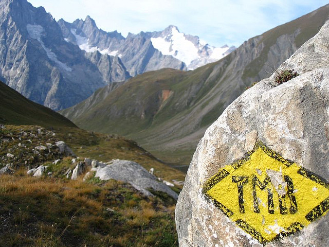
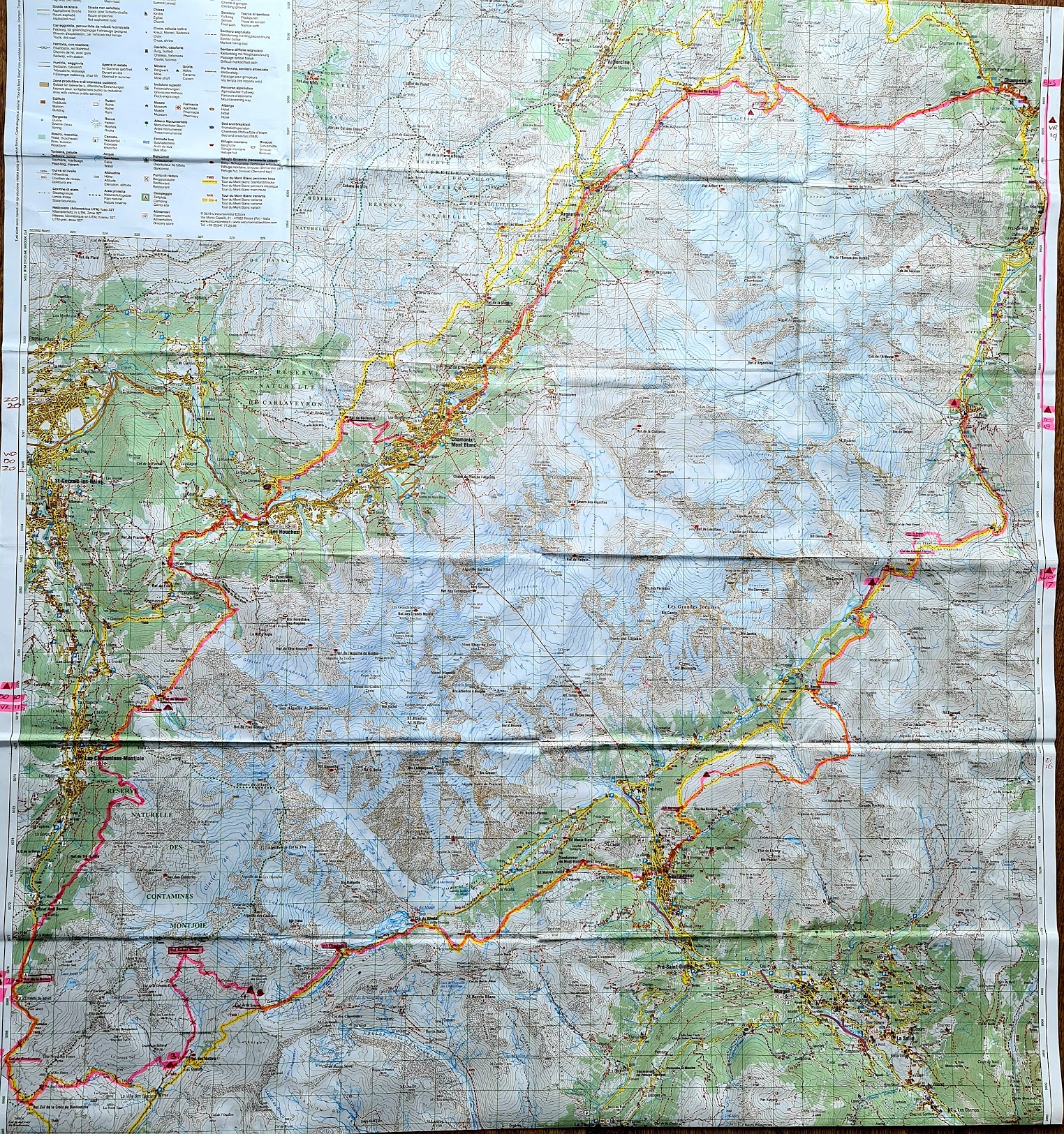
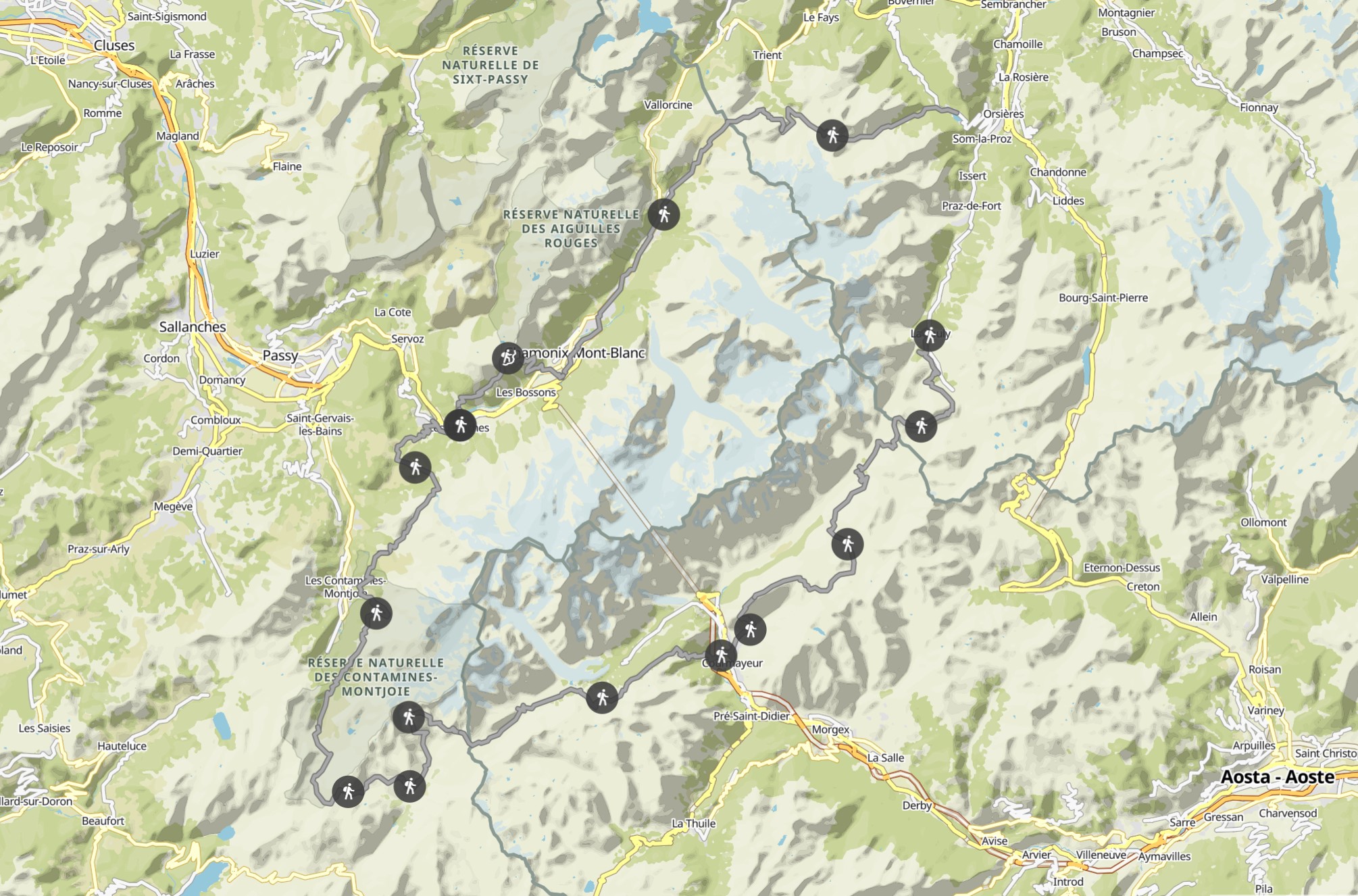
Therefore below, after the map (with my route updated daily along the way in red), a short (separate) page for each day starting with an image of the activity in Komoot. Below that, for that particular day, briefly (max. 5 photos/videos per day) the best images. (thereby, only the picture of the TMB Logo on this page is “borrowed,” the rest taken with Go Pro or phone).
I had resolved to film/photograph this adventure a little less but then once you walk around those beautiful mountains again.
Of course it never fails to convey the feeling (the peace, impressions and the fact that you get to be outside for 11 days and only have to worry about the basics) but I will do my best.
Komoot. (explanation via
this link
)
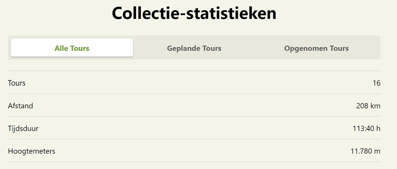
I have collected the different days in a “personal collection” and again, that is quite handy (from Komoot). Indeed, there you can also immediately see ‘the totals’ ; a little over 200 KM in these 11 days which include 11,780 altimeters.
Below the (land) map are the Collection Statistics’ as they call it and a link to the routes in Komoot;
On the (Komoot) images (per day) themselves, ‘A’ is always the starting point and ‘B’ the destination. Facts of the particular day are on the left in the white bar.

On the right the totals where I especially want to emphasize that I walk wonderfully quietly all day! Average over a day does not exceed 2 km. per hour. Then on a standard day, if you start hiking 08:30 in the morning and pitch your tent again at 20:00 on puts (with, very, frequent breaks in between too!) still manage to cover distances.
Below is another picture of the total route in Komoot (looks like an advertisement) and below that my sources and the link to the first page.
So a total of 11 links (always at the bottom left of the page) to 11 (hiking) days/pages ; Good luck 😀.
Sources:
This page
on the website of ‘on the road’.
The
official page
with
this interactive map
.
At the very last minute, online, bought 2 more booklets from Noes Lautier from which I got ‘not to be missed’ information. (fun anyway, both information and photos, for the bookshelf!)
Below is the link to the first day:
